
Product Specifications
- Brand
- TOPCON
- Part Number
- Pocket 3D
- Product Type
- Construction Field Survey and Grade Management Software
- Series
- Pocket 3D
- Platform
- Windows, Android, iOS
- Compatible Hardware
- Topcon GNSS Receivers, Robotic Total Stations, mmGPS Systems, Layout Navigator
- Key Functions
- Real-Time Cut/Fill, Grade Verification, Stakeout, Auto-Topo Surface Mapping, Volume Calculation, As-Built Collection
- Connectivity
- Sitelink3D Real-Time Collaboration, MAGNET Office Integration
- Applications
- Site Work, Road Construction, Landfill, Milling, Asphalt Paving, Concrete Paving
Product Description
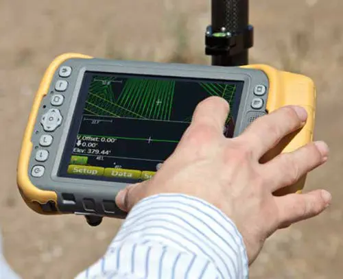
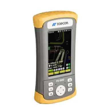
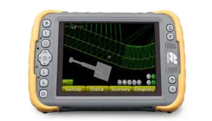
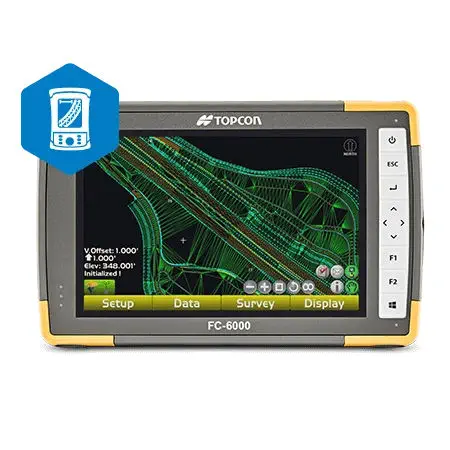
TOPCON Pocket 3D is a multi-platform construction field software application that turns a Windows tablet, Android device, or iOS phone into a full-capability grade management and survey controller for Topcon GNSS receivers, robotic total stations, and mmGPS positioning systems. Its defining operational philosophy is that cut/fill information should be available continuously at any position on the jobsite — not only at staked grid points — so a grade checker or machine operator can walk or drive to any location and immediately see how much material needs to be cut or filled to reach design grade. This real-time grade visibility, combined with auto-topo surface mapping that captures a measured surface by simply walking or driving across it, fundamentally changes the speed at which earthwork verification and as-built documentation proceed.
How does Pocket 3D change grade-checking workflow?
Traditional grade checking involves setting up a total station, occupying a known point, shooting a grid of staked positions, recording the cut/fill at each stake, and returning to the office to compile the report — a half-day process for a modest site. With Pocket 3D connected to a GNSS rover, the grade checker walks the site while the screen displays a live colour-coded cut/fill map referenced to the design surface. Areas within tolerance show green; areas needing fill show blue; areas needing cut show red. A single pass across the site captures both the grade verification and the topographic surface — the software's auto-topo function records points at user-defined time or distance intervals, generating a surface model on the fly. Volume calculations for stockpiles, excavations, or completed fill lifts are computed directly on the device without transferring data to an office package. For verification against contract specifications, the as-built data — collected as points, lines, breaklines, or surfaces — is exported to MAGNET Office or a third-party civil design package.
How does Sitelink3D enable real-time collaboration?
Sitelink3D is Topcon's cloud-based communication platform that links all Pocket 3D field controllers, 3D-MC machine control systems, and the office in a bidirectional data network. A design change made in the office — an adjusted finished grade, a relocated utility trench, a modified slope — appears on the field controller and the machine's in-cab display within seconds without file transfers or USB drives. Conversely, an as-built surface collected in Pocket 3D is visible to the office team and to other field crews in real time, so the paving crew knows the subgrade was accepted before they mobilise. The system also supports text messaging between field and office, and the ability to push updated machine control files directly to 3D-MC-equipped dozers, graders, and excavators — closing the loop between verification and execution without anyone leaving the cut.
Resources & Documentation
TOPCON Pocket 3D Multi-Platform Grade Management and Field Survey Software
Product Specifications
- Brand
- TOPCON
- Part Number
- Pocket 3D
- Product Type
- Construction Field Survey and Grade Management Software
- Series
- Pocket 3D
- Platform
- Windows, Android, iOS
- Compatible Hardware
- Topcon GNSS Receivers, Robotic Total Stations, mmGPS Systems, Layout Navigator
- Key Functions
- Real-Time Cut/Fill, Grade Verification, Stakeout, Auto-Topo Surface Mapping, Volume Calculation, As-Built Collection
- Connectivity
- Sitelink3D Real-Time Collaboration, MAGNET Office Integration
- Applications
- Site Work, Road Construction, Landfill, Milling, Asphalt Paving, Concrete Paving
Resources & Documentation
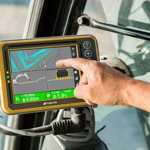
Topcon MC-Max
2D/3D Excavator Control with Auto Tilt
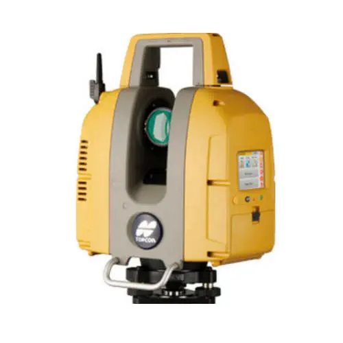
TOPCON GLS-2200
Three range variants to 500 m, surveyor-style resection and backsight setup