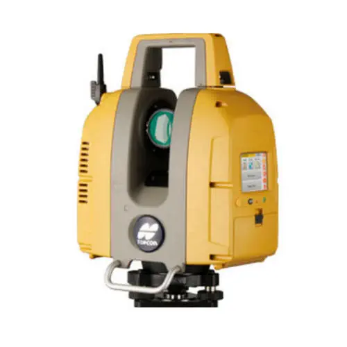
Product Specifications
- Brand
- TOPCON
- Part Number
- GLS-2200
- Type
- 3D Terrestrial Laser Scanner
- Models
- S (130 m), M (350 m), L (500 m) at 90% Reflectivity
- Surface Accuracy
- 1.0 mm (σ)
- Distance Accuracy
- 3.1 mm (σ) at 1–90 m (Detail Mode)
- Scan Rate
- 48,000–120,000 pts/s (Mode-Dependent)
- Field of View
- 360° Horizontal / 270° Vertical
- Angle Accuracy
- 6″ (Horizontal and Vertical)
- Imaging
- Dual 5 MP HDR Cameras (170° Wide-Angle + 8.9° Telephoto)
- Laser Class
- Class 1 (High-Speed Mode) / Class 3R (Detail/Low-Power Modes)
- Weight
- ~10 kg (with Batteries and Tribrach)
- Protection
- IP54
- Battery
- 4× BDC72 Li-Ion, ~2.5 h Continuous Scanning
Product Description
The GLS-2200 is a terrestrial 3D laser scanner designed for the construction surveyor — not the reality-capture specialist. Where general-purpose scanners prioritize raw point density and rely on office software for georeferencing, the GLS-2200 embeds survey-grade positioning workflows directly on the instrument: resection, backsight bearing, and known-point setup are selectable from the 3.5″ touchscreen, the same way a total station operator establishes a station. This means the point cloud is tied to site control coordinates as it is captured, not aligned days later in the office.
What distinguishes the three range variants?
The GLS-2200S (130 m at 90% reflectivity) covers interior spaces, building facades, and small civil sites. The GLS-2200M (350 m) handles road corridors, bridges, and mid-scale earthmoving. The GLS-2200L (500 m) is for open-pit mines, quarries, and large topographic surveys where scan station count is the primary cost driver and longer range directly reduces the number of setups. All three share the same 1.0 mm surface accuracy, 3.1 mm distance accuracy, and 6″ angular accuracy — the only variable is how far the laser can reach on a given surface. On low-reflectivity surfaces (9%), all three models are limited to 40 m, so the range advantage of the M and L only applies where surfaces are reasonably reflective.
How does the GLS-2200 fit a surveyor's existing workflow?
Unlike scanners that require the operator to learn a new software paradigm, the GLS-2200 runs the same resection and backsight routines familiar from TOPCON total stations. It can sight a prism target at up to 200 m to establish its position relative to site control, then scan with the coordinate system already resolved. The dual-camera system — a 170° wide-angle for scene context and an 8.9° coaxial telephoto for long-range target identification — captures HDR imagery that is mapped onto the point cloud for visual inspection and deliverable generation. Data exports to MAGNET Collage and standard BIM formats (including IFC and RCP) for integration with Autodesk and Bentley workflows.
Resources & Documentation
TOPCON GLS-2200 3D Laser Scanner with 1 mm Surface Accuracy for Construction BIM
Product Specifications
- Brand
- TOPCON
- Part Number
- GLS-2200
- Type
- 3D Terrestrial Laser Scanner
- Models
- S (130 m), M (350 m), L (500 m) at 90% Reflectivity
- Surface Accuracy
- 1.0 mm (σ)
- Distance Accuracy
- 3.1 mm (σ) at 1–90 m (Detail Mode)
- Scan Rate
- 48,000–120,000 pts/s (Mode-Dependent)
- Field of View
- 360° Horizontal / 270° Vertical
- Angle Accuracy
- 6″ (Horizontal and Vertical)
- Imaging
- Dual 5 MP HDR Cameras (170° Wide-Angle + 8.9° Telephoto)
- Laser Class
- Class 1 (High-Speed Mode) / Class 3R (Detail/Low-Power Modes)
- Weight
- ~10 kg (with Batteries and Tribrach)
- Protection
- IP54
- Battery
- 4× BDC72 Li-Ion, ~2.5 h Continuous Scanning
Resources & Documentation
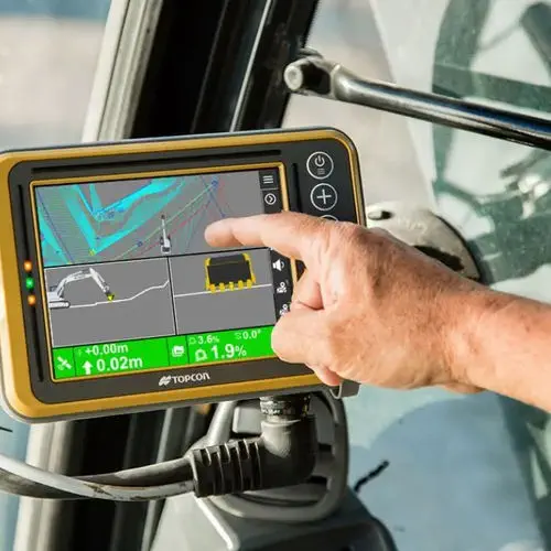
Topcon MC-Max
2D/3D Excavator Control with Auto Tilt
Hi-Target Surveying Instrument HiScan-C
Vehicle-mounted mobile LiDAR system with integrated 30 MP panoramic camera

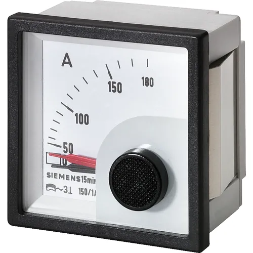
Siemens 3NJ6900-4HF12
Bimetal 200/1 A pluggable ammeter for high-inrush main feeders
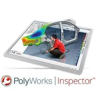
InnovMetric Poly works
Hardware-independent 3D metrology across 100+ device interfaces
Siemens 3NJ6900-4HD12
Bimetal 100/1 A pluggable ammeter for high-inrush 100 A feeders
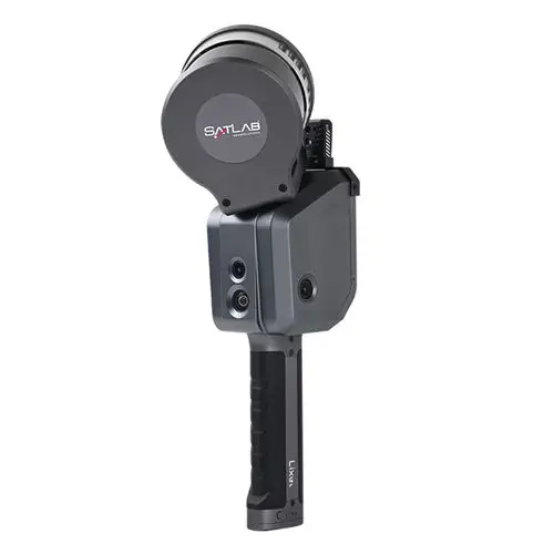
SatLab Geosolutions Lixel X1 SLAM
Real-time SLAM handheld scanner with 1 TB storage
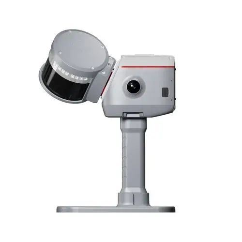
ComNav Technology LS600
GNSS-SLAM fusion scanner with 32-line LiDAR and SpectraColor
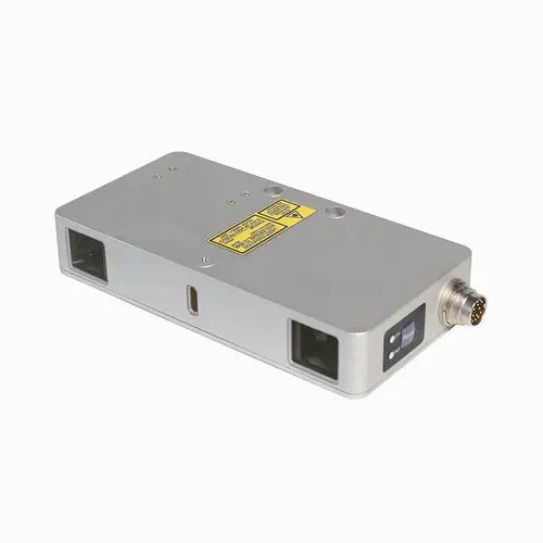
RIFTEK EUROPE RF627BiSmart
Dual-camera 2D/3D profiler with Ethernet/IP and Modbus TCP onboard
Ashcroft CI Series
Tamper-proof industrial thermometer with Maxivision dial