
Product Specifications
- Brand
- SatLab Geosolutions
- Part Number
- Lixel X1
- Product Type
- Handheld SLAM LiDAR Scanner
- Range
- 0.05–120 m
- Scan Rate
- 320,000 points/sec
- Field of View
- 360° × 270°
- Accuracy
- <2 cm
- Integrated Cameras
- 1× wide field, 3× positioning
- Storage
- 1 TB SSD
- Weight
- <1.9 kg (with battery)
- Battery Life
- 1.5 hours
- Ingress Protection
- IP54
- Laser Class
- 1 (905 nm)
Product Description
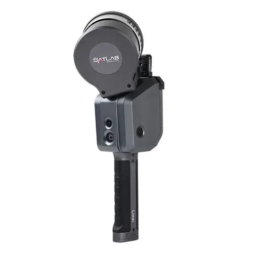
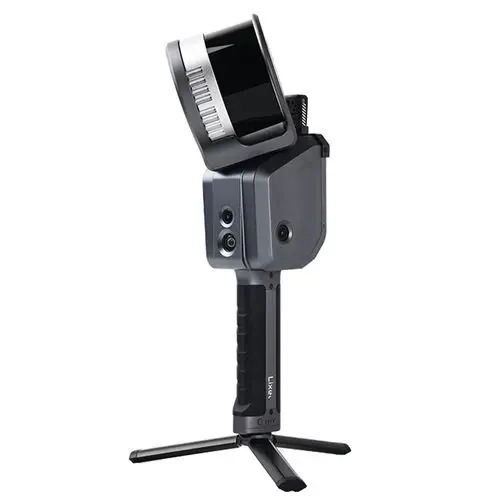
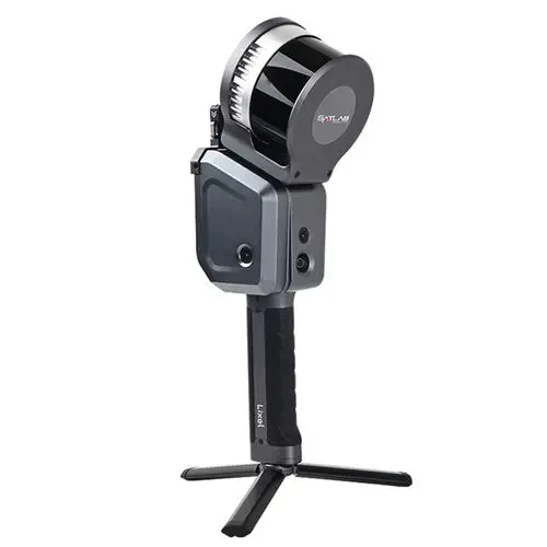
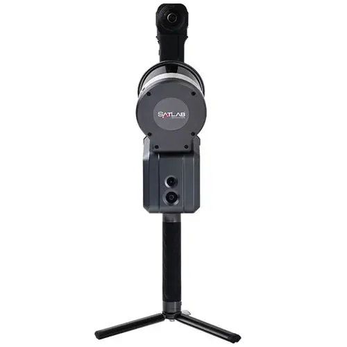
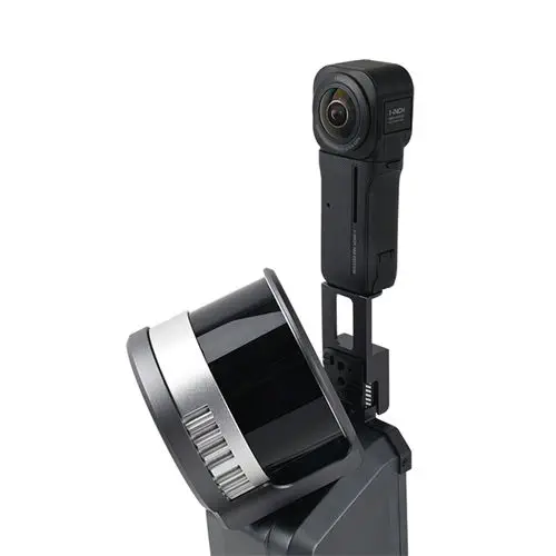
The Lixel X1 is a handheld SLAM (Simultaneous Localization and Mapping) LiDAR scanner from SatLab Geosolutions that reconstructs 3D scenes in real time as the operator walks. Unlike conventional terrestrial laser scanners that require tripod setups, target placement, and office-based registration, the Lixel X1 fuses a 16-channel 905 nm LiDAR sensor with three positioning cameras, a wide-field visible-light camera, and a high-precision IMU to localize itself while building the point cloud — no GNSS, no loop closures, and no post-processing needed. Point cloud data is available for live preview within seconds of starting the scan, displayed in the LixelGo companion software running on an Android tablet.
Where does the Lixel X1 fit between handheld and terrestrial scanning?
Traditional terrestrial laser scanners deliver the highest absolute accuracy — typically 2–5 mm at 10 m — but at the cost of setup time: each station requires levelling, target positioning, and a stationary scan of 1–3 minutes. The Lixel X1 trades a modest amount of accuracy (<2 cm relative) for order-of-magnitude speed gains: the operator simply walks through the environment at normal pace, capturing up to 60 minutes of continuous scan data per session. This makes it suited to indoor and outdoor spaces where coverage speed matters more than sub-centimetre precision — construction progress monitoring, mining drift surveys, building information modeling (BIM) as-built capture, heritage documentation, and underground utility mapping. The breakpoint scanning feature allows pausing and resuming scans, enabling multi-floor or multi-room capture in a single session without segmenting the dataset.
How does the true-color point cloud work without external cameras?
The Lixel X1 embeds its imaging system directly into the scanner body. Three positioning cameras track environmental features for visual-inertial odometry, while a fourth wide-field RGB camera captures scene colour during the walk. The high-precision vision-laser fusion algorithm maps each RGB pixel to its corresponding LiDAR point in real time, producing a photorealistic colourised point cloud without the parallax correction and manual image-to-scan alignment that external camera kits demand. The result is available in standard exchange formats (.las, .laz, .e57) for direct ingestion into CAD, GIS, and point cloud processing platforms.
Multi-platform deployment
While primarily used as a handheld instrument, the Lixel X1 can be mounted on a backpack for hands-free indoor scanning, on a vehicle for road-corridor mapping, or on a UAV for aerial LiDAR capture — the same scanner adapts across platforms without hardware modification. The V-mount 46.8 Wh battery provides approximately 1.5 hours of runtime per charge, and the 1 TB internal SSD stores hundreds of scanning sessions before offload is needed.
Resources & Documentation
SatLab Geosolutions Lixel X1 Handheld SLAM LiDAR Scanner for Real-Time 3D Mapping
Product Specifications
- Brand
- SatLab Geosolutions
- Part Number
- Lixel X1
- Product Type
- Handheld SLAM LiDAR Scanner
- Range
- 0.05–120 m
- Scan Rate
- 320,000 points/sec
- Field of View
- 360° × 270°
- Accuracy
- <2 cm
- Integrated Cameras
- 1× wide field, 3× positioning
- Storage
- 1 TB SSD
- Weight
- <1.9 kg (with battery)
- Battery Life
- 1.5 hours
- Ingress Protection
- IP54
- Laser Class
- 1 (905 nm)
Resources & Documentation
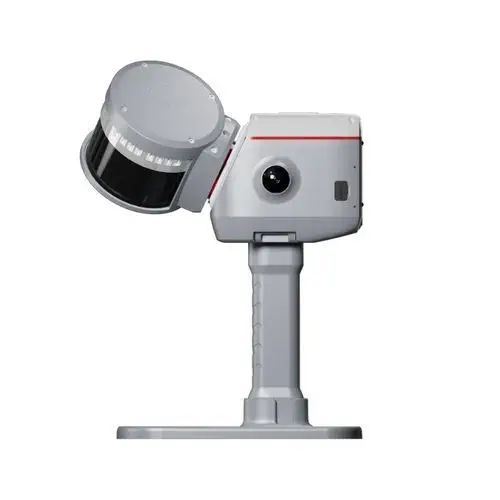
ComNav Technology LS600
GNSS-SLAM fusion scanner with 32-line LiDAR and SpectraColor
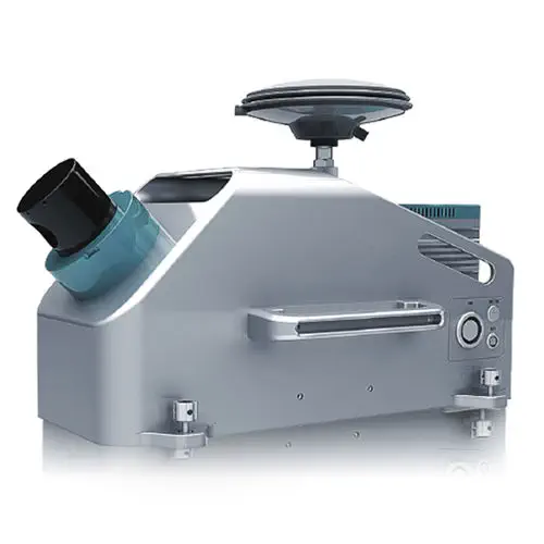
Hi-Target Surveying Instrument HiScan-C
Vehicle-mounted mobile LiDAR system with integrated 30 MP panoramic camera
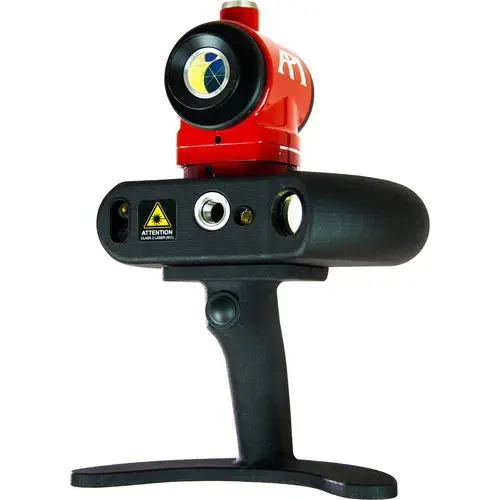
API iScan3D
Blue crossed-line laser scanner with 360° rotating head
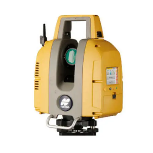
TOPCON GLS-2200
Three range variants to 500 m, surveyor-style resection and backsight setup
InnovMetric Poly works
Hardware-independent 3D metrology across 100+ device interfaces