
Product Specifications
- Brand
- Novatest
- Part Number
- LS1
- Type
- Handheld SLAM LiDAR Scanner
- Scan Rate
- 320,000 pts/s (LS1); 40,000 pts/s (LS1 PRO)
- Range
- 120 m (LS1); 300 m (LS1 PRO)
- Field of View
- 360° Horizontal / 270° Vertical
- Relative Accuracy
- 1 cm
- Absolute Accuracy
- <5 cm (with RTK)
- Mapping Modes
- SLAM, SLAM-RTK, PPK
- Imaging
- 3× 5 MP Cameras, Real-Time Color Point Cloud
- GNSS
- GPS, GLONASS, Galileo, BeiDou, QZSS, IRNSS, SBAS
- Weight
- <1.85 kg (Excluding Battery)
- Battery
- 70.56 Wh Detachable, ~3 h Runtime
- Storage
- 1 TB Onboard
- Protection
- IP54
- Operating Temperature
- −20°C to +55°C
Product Description
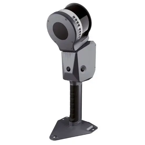
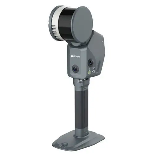
The LS1 is a handheld SLAM LiDAR scanner that fuses 320,000-point-per-second laser data with built-in GNSS RTK and three 5 MP cameras to produce georeferenced, colorized 3D point clouds in real time — while the operator is still walking. Unlike traditional terrestrial laser scanners that require a tripod at every setup, the LS1 maps continuously as the operator moves through the environment, making it suited for building interiors, underground workings, quarries, and forested terrain where static scanning would be slow or unsafe.
What does SLAM-RTK provide that SLAM alone cannot?
Pure SLAM (Simultaneous Localization and Mapping) builds a point cloud by tracking relative movement from lidar and IMU data — it is inherently relative and accumulates drift over distance. The LS1's integrated RTK receiver corrects this drift in real time by tying the SLAM solution to absolute GNSS coordinates, achieving better than 5 cm absolute accuracy when RTK lock is available. In GNSS-denied environments (indoors, tunnels, dense forest), the scanner automatically falls back to pure SLAM and resumes RTK correction when signal returns — no manual mode switching. For projects requiring the highest accuracy, PPK post-processing refines the trajectory after the survey using raw GNSS observables logged during data collection.
What makes it practical for daily survey use?
At under 1.85 kg, the LS1 can be operated one-handed for extended periods. The 1 TB internal storage holds approximately 100 hours of scan data, and the hot-swappable 70.56 Wh battery provides roughly 3 hours of continuous operation. Three 5 MP cameras colorize the point cloud as it is generated, so the deliverable — a photorealistic, georeferenced 3D model — is ready when the scanner is powered down. The companion Hi-LiDAR software provides SLAM processing, PPK trajectory optimization, and AEC-specific tools for point cloud slicing, section extraction, and volume calculation.
Resources & Documentation
Novatest LS1 Handheld SLAM LiDAR Scanner with Integrated RTK, 320k pts/s
Product Specifications
- Brand
- Novatest
- Part Number
- LS1
- Type
- Handheld SLAM LiDAR Scanner
- Scan Rate
- 320,000 pts/s (LS1); 40,000 pts/s (LS1 PRO)
- Range
- 120 m (LS1); 300 m (LS1 PRO)
- Field of View
- 360° Horizontal / 270° Vertical
- Relative Accuracy
- 1 cm
- Absolute Accuracy
- <5 cm (with RTK)
- Mapping Modes
- SLAM, SLAM-RTK, PPK
- Imaging
- 3× 5 MP Cameras, Real-Time Color Point Cloud
- GNSS
- GPS, GLONASS, Galileo, BeiDou, QZSS, IRNSS, SBAS
- Weight
- <1.85 kg (Excluding Battery)
- Battery
- 70.56 Wh Detachable, ~3 h Runtime
- Storage
- 1 TB Onboard
- Protection
- IP54
- Operating Temperature
- −20°C to +55°C
Resources & Documentation
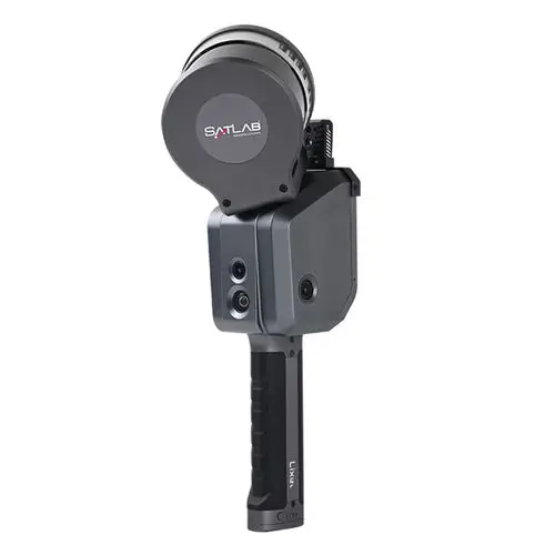
SatLab Geosolutions Lixel X1 SLAM
Real-time SLAM handheld scanner with 1 TB storage
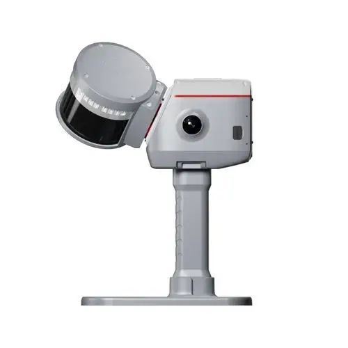
ComNav Technology LS600
GNSS-SLAM fusion scanner with 32-line LiDAR and SpectraColor
Zoller + Fröhlich Z+F SynCaT®
PROFILER scan data synchronization and calibration
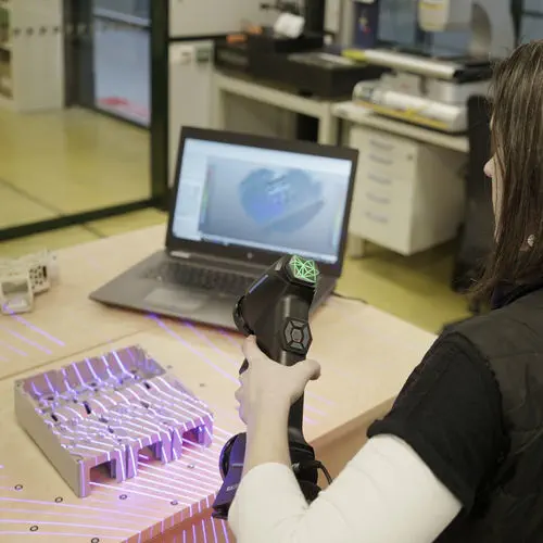
Hexagon Manufacturing Intelligence ATLASCAN Max
Metrology-grade handheld scanner with 26 blue lasers and 3M pts/s
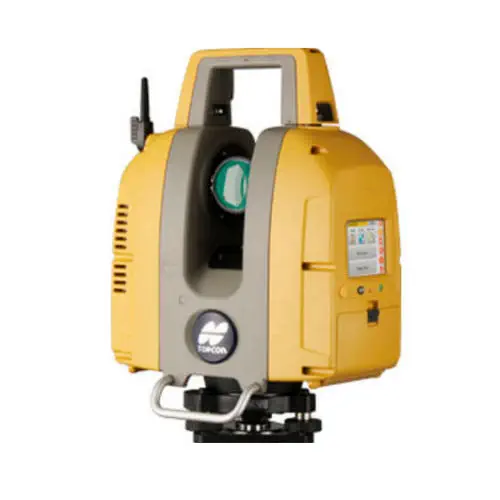
TOPCON GLS-2200
Three range variants to 500 m, surveyor-style resection and backsight setup
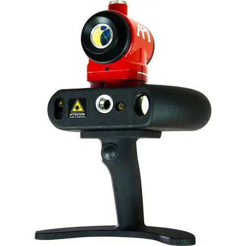
API iScan3D
Blue crossed-line laser scanner with 360° rotating head
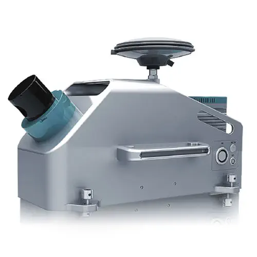
Hi-Target Surveying Instrument HiScan-C
Vehicle-mounted mobile LiDAR system with integrated 30 MP panoramic camera
InnovMetric Poly works
Hardware-independent 3D metrology across 100+ device interfaces