
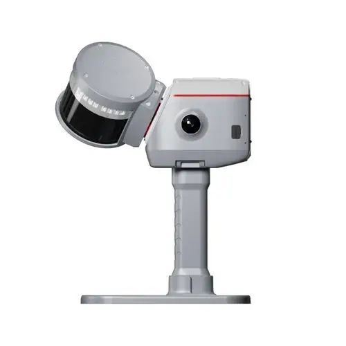
Product Specifications
- Brand
- ComNav Technology
- Part Number
- LS600
- Product Type
- Handheld SLAM LiDAR Scanner
- Scan Modes
- 16-line (320k pts/s, 120 m) / 32-line (640k pts/s, 120 m) / 32-line Extended (640k pts/s, 300 m)
- Field of View
- 360° × 270°
- Absolute Accuracy (RMSE)
- 3 cm
- Post-Processed Relative Accuracy (RMSE)
- 1 cm
- Integrated Cameras
- 2× 48 MP (190° × 190° each)
- Storage
- 512 GB SSD (expandable)
- Weight
- 1.9 kg
- GNSS Constellations
- GPS, BDS, GLONASS, Galileo, QZSS, IRNSS, SBAS
- Ingress Protection
- IP54
- Laser Class
- 1 (905 nm)
Product Description
The LS600 is a handheld SLAM 3D laser scanner from ComNav Technology, marketed under the SinoGNSS brand. It fuses a multi-line LiDAR sensor with a survey-grade GNSS-RTK receiver, an inertial measurement unit, and dual 48-megapixel panoramic cameras in a single 1.9 kg aluminium body. The defining engineering feature is the tightly coupled GNSS-SLAM algorithm: outdoors, where RTK is fixed, the scanner produces absolutely georeferenced point clouds in real time without loop closures — the GNSS position constrains the SLAM drift to centimetre level as the operator walks. Indoors or in GNSS-denied environments (tunnels, basements, mines), the system falls back to camera-assisted visual-SLAM, with the option to introduce ground control points during post-processing for coordinate transformation.
Three scan modes for different project needs
| Mode | Lines | Scan Rate | Range | Best For |
|---|---|---|---|---|
| Standard (16-line) | 16 | 320,000 pts/s | 120 m | Indoor spaces, building interiors, general as-built capture |
| High-Resolution (32-line) | 32 | 640,000 pts/s | 120 m | Detailed façade capture, infrastructure inspection, dense point cloud requirements |
| Extended Range (32-line) | 32 | 640,000 pts/s | 300 m | Open-pit mining, topographic survey, outdoor long-range corridor mapping |
Mode selection trades point density against range, letting a single instrument cover interior room scanning and open-terrain topographic mapping without swapping hardware.
SpectraColor and the dual-camera system
Two 48-megapixel cameras, each with a 190° circular fisheye field of view, capture overlapping panoramic imagery as the operator walks. ComNav's SpectraColor pipeline maps RGB values onto the LiDAR point cloud at sub-centimetre layer resolution, producing true-to-life colourised 3D data. Because the cameras are rigidly mounted and factory-calibrated to the LiDAR frame, the colour mapping is geometrically registered without the parallax errors that affect add-on camera kits requiring post-scan alignment. Images are stored as standard .jpg files alongside the .las point cloud for downstream processing in ComNav's RealEditor PC software or third-party platforms.
Field workflow and data handling
The LS600 is operated via the ScanMaster Android app over Wi-Fi or Bluetooth, with real-time point cloud preview — dubbed Flash Point Cloud Technology — displaying the scan as it builds, so the operator can verify coverage and data quality before leaving the site. Two removable 49.34 Wh Li-ion battery sticks provide approximately 1.5 hours of continuous scanning each, and a 30-minute fast-charge cycle means a two-stick rotation can sustain a full field day. The 512 GB internal SSD is expandable and connects to a PC via USB-C 3.2 Gen 2 at 400 MB/s for rapid data offload.
Resources & Documentation
ComNav Technology LS600 Handheld SLAM 3D Laser Scanner with Integrated GNSS-RTK
Product Specifications
- Brand
- ComNav Technology
- Part Number
- LS600
- Product Type
- Handheld SLAM LiDAR Scanner
- Scan Modes
- 16-line (320k pts/s, 120 m) / 32-line (640k pts/s, 120 m) / 32-line Extended (640k pts/s, 300 m)
- Field of View
- 360° × 270°
- Absolute Accuracy (RMSE)
- 3 cm
- Post-Processed Relative Accuracy (RMSE)
- 1 cm
- Integrated Cameras
- 2× 48 MP (190° × 190° each)
- Storage
- 512 GB SSD (expandable)
- Weight
- 1.9 kg
- GNSS Constellations
- GPS, BDS, GLONASS, Galileo, QZSS, IRNSS, SBAS
- Ingress Protection
- IP54
- Laser Class
- 1 (905 nm)
Resources & Documentation
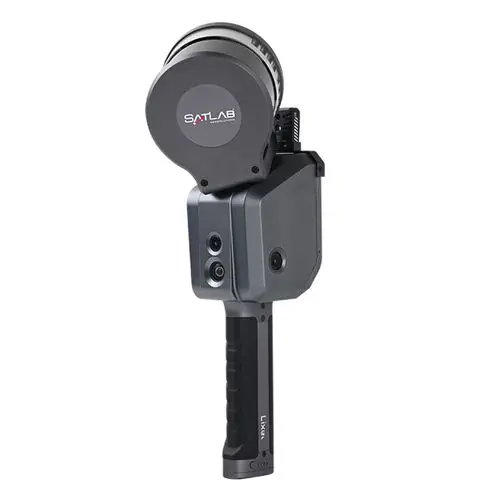
SatLab Geosolutions Lixel X1 SLAM
Real-time SLAM handheld scanner with 1 TB storage
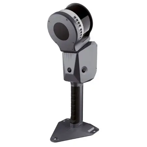
Novatest LS1
Handheld SLAM-RTK scanner with real-time color point cloud at 320k pts/s
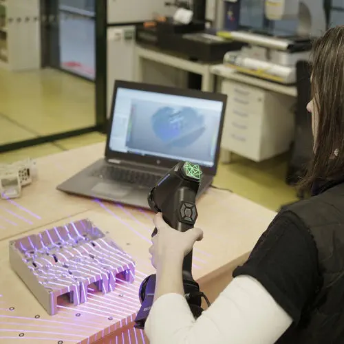
Hexagon Manufacturing Intelligence ATLASCAN Max
Metrology-grade handheld scanner with 26 blue lasers and 3M pts/s
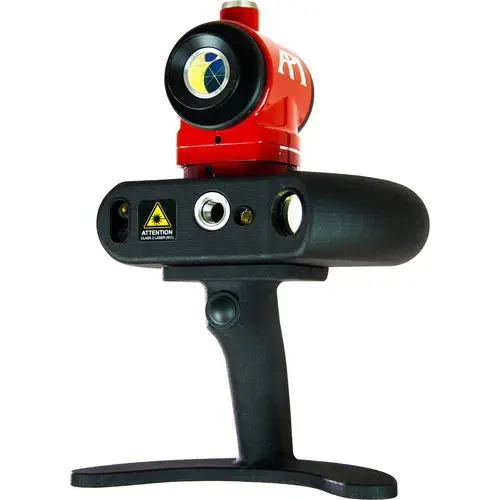
API iScan3D
Blue crossed-line laser scanner with 360° rotating head
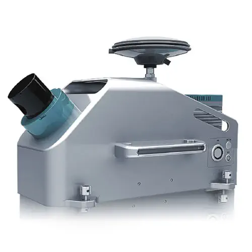
Hi-Target Surveying Instrument HiScan-C
Vehicle-mounted mobile LiDAR system with integrated 30 MP panoramic camera
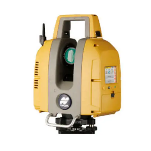
TOPCON GLS-2200
Three range variants to 500 m, surveyor-style resection and backsight setup
Zoller + Fröhlich Z+F SynCaT®
PROFILER scan data synchronization and calibration
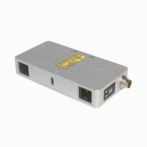
RIFTEK EUROPE RF627BiSmart
Dual-camera 2D/3D profiler with Ethernet/IP and Modbus TCP onboard